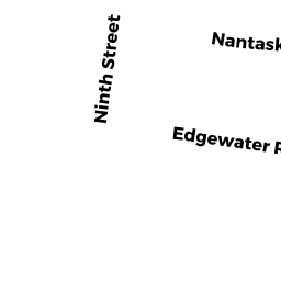
4 SEVENTH ST
Owner Information
CONNORS MICHAEL E
4 SEVENTH ST
HULL, MA 02045-0000


Property Details
4 SEVENTH ST is classified as a Single Family Residential (Bungalow).
The primary structure on this property was built in 1920. There are 1,463ft2 of built area within this property. There is 1,463ft2 of residential/living space within this property. This property is listed as having 5 rooms.
4 SEVENTH ST is valued at $343,300. The land is valued at $169,000 and the structures are valued at $174,200. There is an additional valuation of $100 on this property.
This property is in Zone SFB. Confirm with local Zoning Board authorities to ensure there are no overlays or other easements on this property.
The most recent deed for 4 SEVENTH ST is recorded at the local registrar in Book 55426, Page 314. 4 SEVENTH ST was last sold on Wednesday, August 4, 2021 for $10.
Assessment data from fiscal year 2022.
Flood Data
This property is partially within the AE Zone (within floodplain). Approximately 0.04 acres (39.5%) of the property is within this zone.
The base flood elevation for this flood zone is 10 feet.
This information is sourced from the FEMA National Flood Hazard Layer. See our full disclamer.
Broadband Internet Providers
| Provider | Type | Bandwidth (mbps) | |
|---|---|---|---|
| Comcast | Cable | 1000 | 35 |
| Verizon New England Inc. | Fiber | 940 | 880 |
| Viasat Inc | Satellite | 100 | 3 |
| VSAT Systems, LLC. | Satellite | 2 | 1 |
| GCI Communication Corp. | Satellite | 0 | 0 |
| HughesNet | Satellite | 25 | 3 |
Broadband service provider data from December 2020.
Adjacent Properties
- 1 SIXTH ST
Single Family Residential owned by OBRIEN EDWARD C & BARBARA A - 98 EDGEWATER RD
Single Family Residential owned by DOOLEY ROY L - 133 NANTASKET RD
Single Family Residential owned by WIENERS RUDOLPH M JR & KIMBERL Y D - 6 SEVENTH ST
Single Family Residential owned by TAVERNA JOAN & GIROLAMO R - 0 EDGEWATER RD
Undevelopable Residential Land owned by FOSTER ROBERT B - 102 EDGEWATER RD
Single Family Residential owned by WOOLF MICHAEL & CHERYL